Overview
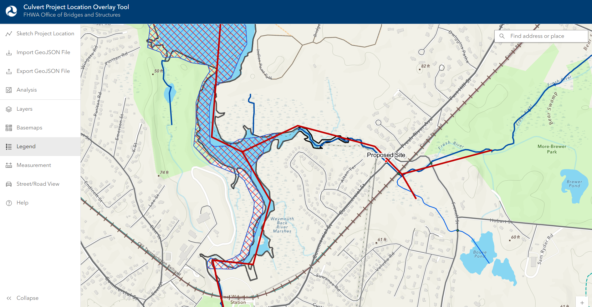
The Culvert Project Location Overlay Tool (CPLOT) is an interactive mapping tool that is provided as a resource for applicants to the Culvert Aquatic Organism Passage (Culvert AOP) Program.
CPLOT allows users to specify a project area and retrieve contextual data that can help with the preparation of grant applications. Information displayed is compiled from multiple state and regional resources, and may not represent a comprehensive list of all relevant data. Applicants are encouraged to submit supplemental materials as needed to highlight additional information not contained in this application and its outputs (e.g., additional information on fish species, etc.).
Questions?
For questions about the Culvert Aquatic Organism Passage (Culvert AOP) Program, please visit the Aquatic Organism Passage (AOP) website or reach out to culvertaop@dot.gov. For technical questions or suggestions related to this application, please reach out to the CPLOT technical team.